My mother Irene believed deeply in family. By that I mean she sought to keep her far-flung brood in touch with each other, helping us remember our shared experience and our family history. At one time, I lived in Alaska, my brother lived in California, one sister lived in Boston and the other in British Columbia. Irene and our dad Byron were in southern Alberta. Everyone was busy with compelling jobs and high-energy kids. Irene and Byron were information hubs for all of us.
They’re gone now, but my siblings and I take turns providing the connective tissue that binds families. This month it was my turn. Here’s the story:
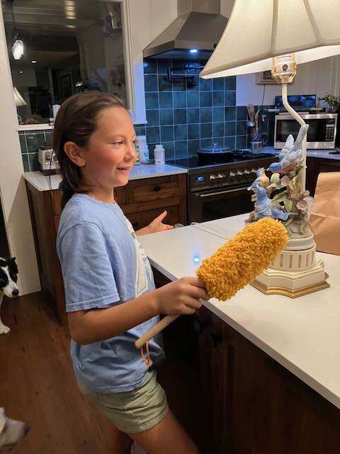
Irene had a table lamp decorated at the base with charming ceramic western bluebirds, a thing she had inherited from her mother Yvonne. When Irene died last year, we concluded that her great-granddaughter E, a deep lover of the outdoors and just eight years old, might like this whimsical lamp. We boxed it up, tucked some of Irene’s clothing around it to keep it safe, and last week I delivered it into E’s hands.
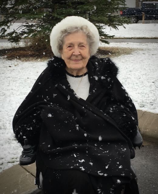
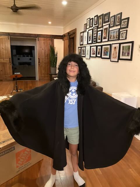
I’ll let the pictures tell the rest of the story. Above? That’s Irene wearing her favorite black cape on a wintry southern Alberta morning. Below, E, in Northern California, dusts the lamp that belonged first to her great-great-grandmother Yvonne. And there she is in her great-grandmother’s cape, modeling the start of her Halloween costume.
I took great pleasure in E’s genuine excitement at receiving her Gigi’s things. And I know my mother would be deeply pleased too.
Oh, and those western bluebirds? E helped build nest boxes for the western bluebirds that flit daily around the California oak savannah where she lives. They’re the same species that sets my heart a-flutter in Oregon and that her great-great-grandma loved to see while horseback riding across the Southern California hillsides she escaped to when Alberta winters became too much.
Photos by Susan Palmer